- August 25th, 2011
- Jackson Parker
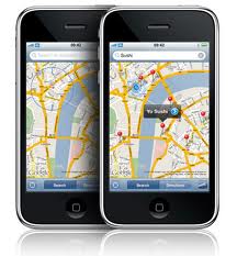
Garmin Launches Nuvi Personal Navigation Device
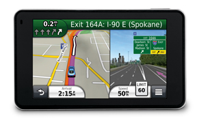
Garmin Nuvi GPS 2012Yesterday Garmin revealed its 2012 line of Nuvi personal navigation devices (PNDs). Garmin is simplifying its entire product lineup down to three tiers, plus the company is upgrading its navigation and traffic engines.
Choosing the best nuvi for any given lifestyle has never been easier as the 2012 models are categorized as Essential, Advanced and Prestige. New to the 2012 line are the advanced Guidance 2.0 and 3.0 navigation engines for a faster, more intuitive user interface and enhanced features that result in Garmin’s most capable navigators yet.